
Sweet for ArcGIS
This powerful easy-to-use web application for collecting and editing geospatial data supports office and field operations. It’s perfect for organisations collecting and managing data like road infrastructure, flora and fauna, among others.
It’s configured by GIS professionals to implement data workflows and efficient data collection. Data is accurate at the point of entry or edit assuring integrity which reduces the need for lengthy quality assurance workflows.

It’s made for collaboration
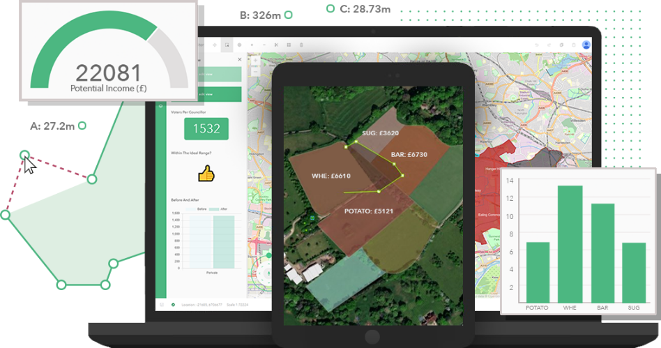
Conveniently, because Sweet is built on the ArcGIS platform and is integrated with ArcGIS Online and Enterprise, multiple users can access Sweet and your data enabling collaborative opportunities. Thanks to its design, Sweet can also be used on a laptop, desktop or tablet and users will see the impact of their edits immediately in the form of maps, apps or dashboards.
This application will appeal to GIS professionals and non-GIS professionals alike enabling users to create and manage spatial data in a way they’ve never done before. It’s designed to be flexible and can be configured to meet the needs of commercial enterprises, public institutions, specialised niche markets and government agencies including national mapping, federal government, and defence.

Optimise resources, reduce overheads, and save time
By using Sweet you can also achieve some cost savings. Unlike complex desktop applications, the interface doesn’t need in-depth high-level training to correctly use Sweet. This makes Sweet for ArcGIS a lightweight, easy-to-use alternative even more accessible because you don’t need a GIS technical background to use it.
Remote locations are also a breeze. If field work is somewhere in the most remote outback location of Australia where internet is unavailable, you can still collect data because Sweet applications are accessible offline.
- Accessed anywhere
 Accessed anywhere
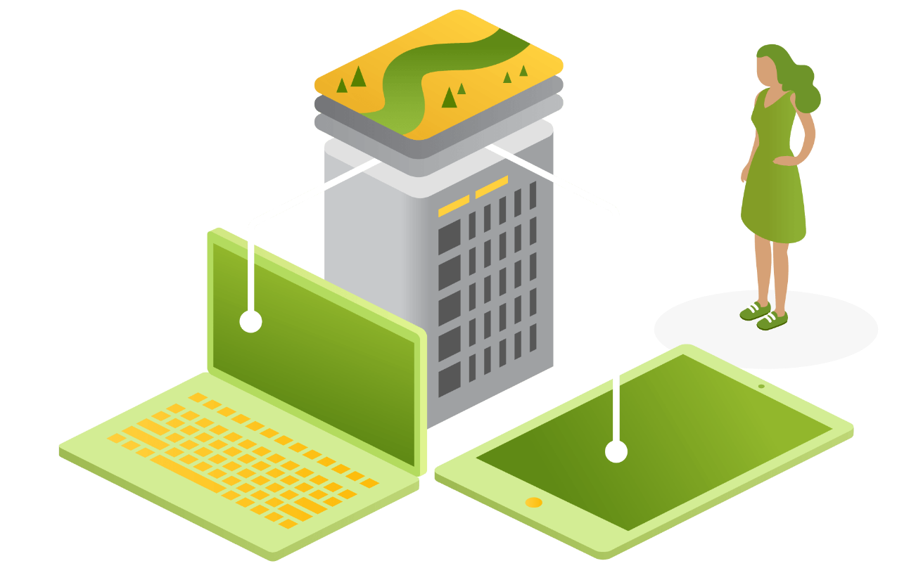
You can create, edit, and explore spatial data in a web browser or in an app across multiple devices (Android, iOS, and Windows) whether out in the field or in the office - even when disconnected.


FAQs
There are two user types: Sweet Builder User (able to create new and edit existing Sweet applications) and Sweet Data Editor User (able to edit data within Sweet applications that have been shared with them). Note: an organisation must have at least one Sweet Builder User.
Contact Us
Get in touch with the Onneer team today to find out more about a 30-day trial version of Sweet for ArcGIS for your organisation.